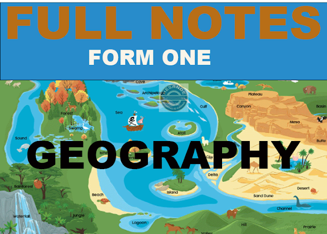
CONCEPT OF GEOGRAPHY| GEOGRAPHY FORM I: TOPIC 1
CONCEPT
OF GEOGRAPHY
Geography has its origin in Greek language. It is a combination of two Greek words:Geo and Graphein or Grapho. Geo means the earth while Graphein or Grapho means to write or describe.
The combination of these two Greek words forms the word Geographia which means to write or describe about the Earth. The word Geographia was converted into English language to be Geography.
Definition
of Geography
Geography is the study of man and his or her environment. It is the study of the earth as a home of man. Geography is the study of distribution and interrelationship of natural and human phenomena on the Earth’s surface.
Branches
of Geography
Geography is divided into three main
branches which are:-
(a) Human and Economic Geography or Regional
Geography.
· Is
mainly concerned with the study of human beings and their activities on the
Earth’ surface.
· These
activities includes; mining, agriculture, fishing, trading, lumbering, etc.
(b) Practical Geography.
·Deals
with practical topics such as Cartography (map work), Photograph, Field
Research, Survey and Statistics.
Note: Cartography
is a science of map making or drawing. A
person who deals with map making or drawing is called Cartographer.
(c) Physical Geography.
· It
deals with the study of natural physical environment.
· Is mainly concerned with climate, weather, structure of the earth, Rocks, geomorphology, soil science, vegetation, etc.
Importance Of Studying Geography.
To develop knowledge of places and environments throughout the world. This will help in solving issues about the environment and sustainable development.
2. Geography serves as an important link between the natural and social sciences. As you study geography, you encounter different societies and cultures. This helps you realize how nations rely on each other.
3. To help us understand basic physical systems that affect everyday life. For instance, how water cycles and ocean currents work are all explained with geography.
These are important systems to monitor and predict in order to help lessen the impact of disasters.
4. To learn the location of places and the physical and cultural characteristics of those places in order to function more effectively in our increasingly interdependent world.
5. To enable us explore the methods and strategies used by other nations for economic developments and how Tanzania can borrow and employ the same for a similar purpose.
6. To be able to make sensible judgments about spatial distribution of human settlements in relation to physical environment.
7. To gain knowledge about the available, finite resources that the Earth has been endowed with and how to manage and use them sustainably.
8. To help us take care of the world around us by understanding others better and knowing the limitations of the Earth. This enable us make our planet a more lovable one.
9. To understand various types of natural environments and how to harness them for equitable use by the present and future generations.
10. To gain positive attitudes and values which enable one become a responsible and successful member of the society.
11. To serve as the basis for further studies in specialized fields such as cartography (the science of map making), land survey, meteorology (the study of weather and weather forecasting), climatology (study of climate), seismography (the scientific measuring and recording of the shock and vibrations of Earthquakes), teaching, aviation and research.


